Hungary
at your own pace.
The roads. The rules. The little things. Everything you need for a more confident drive.
Good guidance has sources.
Practical information should be easy to read and easy to verify.
Built for the road ahead.
Lane Atlas is an independent driving guide. Each country has its own road rules, official sources and pre-trip checklist.
A date, not a live feed.
Sources verified November 18, 2026. Before leaving, check the rules, fares and flights using the links.
Regulations, tariffs or agency and operator data.
Retrieved November 18, 2026Regulations, tariffs or agency and operator data.
Retrieved November 18, 2026Regulations, tariffs or agency and operator data.
Retrieved November 18, 2026Regulations, tariffs or agency and operator data.
Retrieved November 18, 2026Regulations, tariffs or agency and operator data.
Retrieved November 18, 2026Regulations, tariffs or agency and operator data.
Retrieved November 18, 2026Regulations, tariffs or agency and operator data.
Retrieved November 18, 2026Source of data for estimating fuel costs.
Retrieved November 18, 2026Source of data for estimating fuel costs.
Retrieved November 18, 2026Source of data for estimating fuel costs.
Retrieved November 18, 2026Carrier schedule and tariffs.
Retrieved November 18, 2026About the photograph
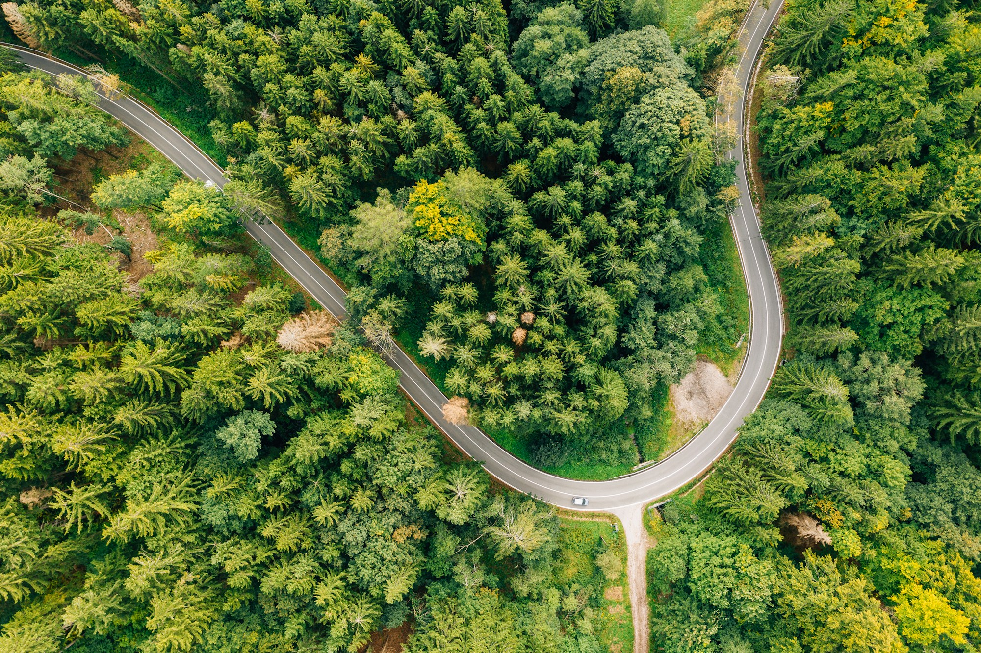
Forest-road photo by Marcin Jozwiak, under the Unsplash licence. On the regional guides it is used as an illustration. Regional maps use Natural Earth boundary data.
Photography by Marcin Jozwiak / UnsplashCountry guides
- Albania
- Andorra
- Armenia
- Austria
- Azerbaijan
- Belgium
- Bosnia and Herzegovina
- Bulgaria
- Croatia
- Cyprus
- Czechia
- Denmark
- Estonia
- Finland
- France
- Georgia
- Germany
- Greece
- Hungary
- Iceland
- Ireland
- Italy
- Kosovo
- Latvia
- Liechtenstein
- Lithuania
- Luxembourg
- Malta
- Moldova
- Monaco
- Montenegro
- Netherlands
- North Macedonia
- Norway
- Poland
- Portugal
- Romania
- San Marino
- Serbia
- Slovakia
- Slovenia
- Spain
- Sweden
- Switzerland
- Turkey
- Ukraine
- United Kingdom
- Vatican City